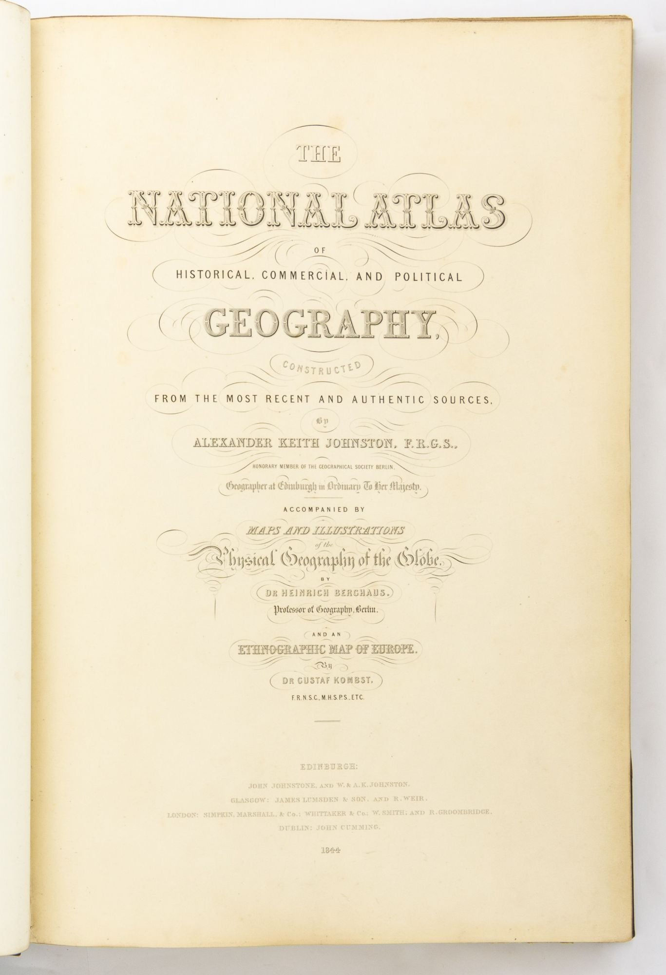
The National Atlas of Historical, Commercial and Political Geography, constructed from the Most Recent and Authentic Sources
Edinburgh, John Johnstone and W. & A.K. Johnston, 1844.
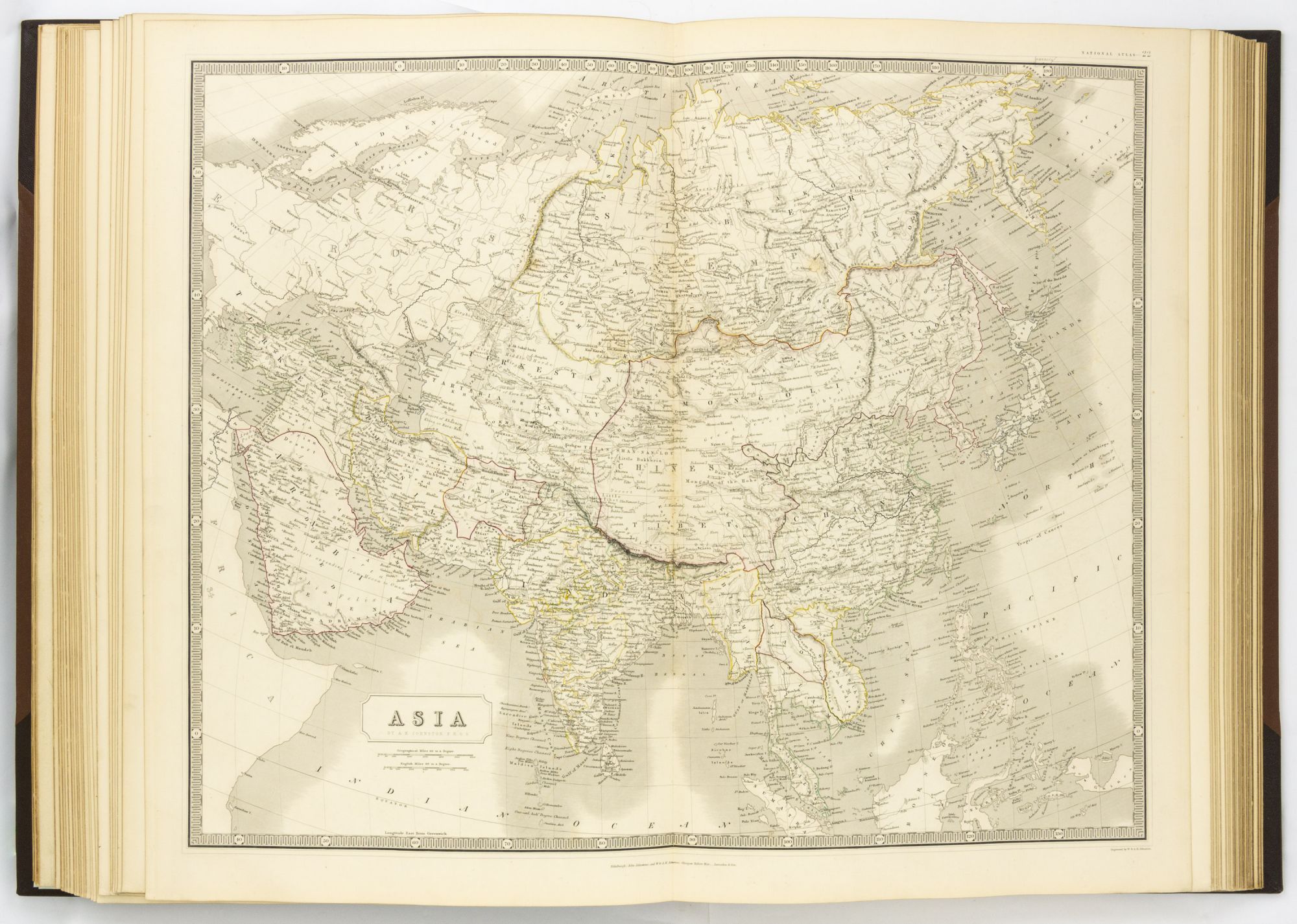
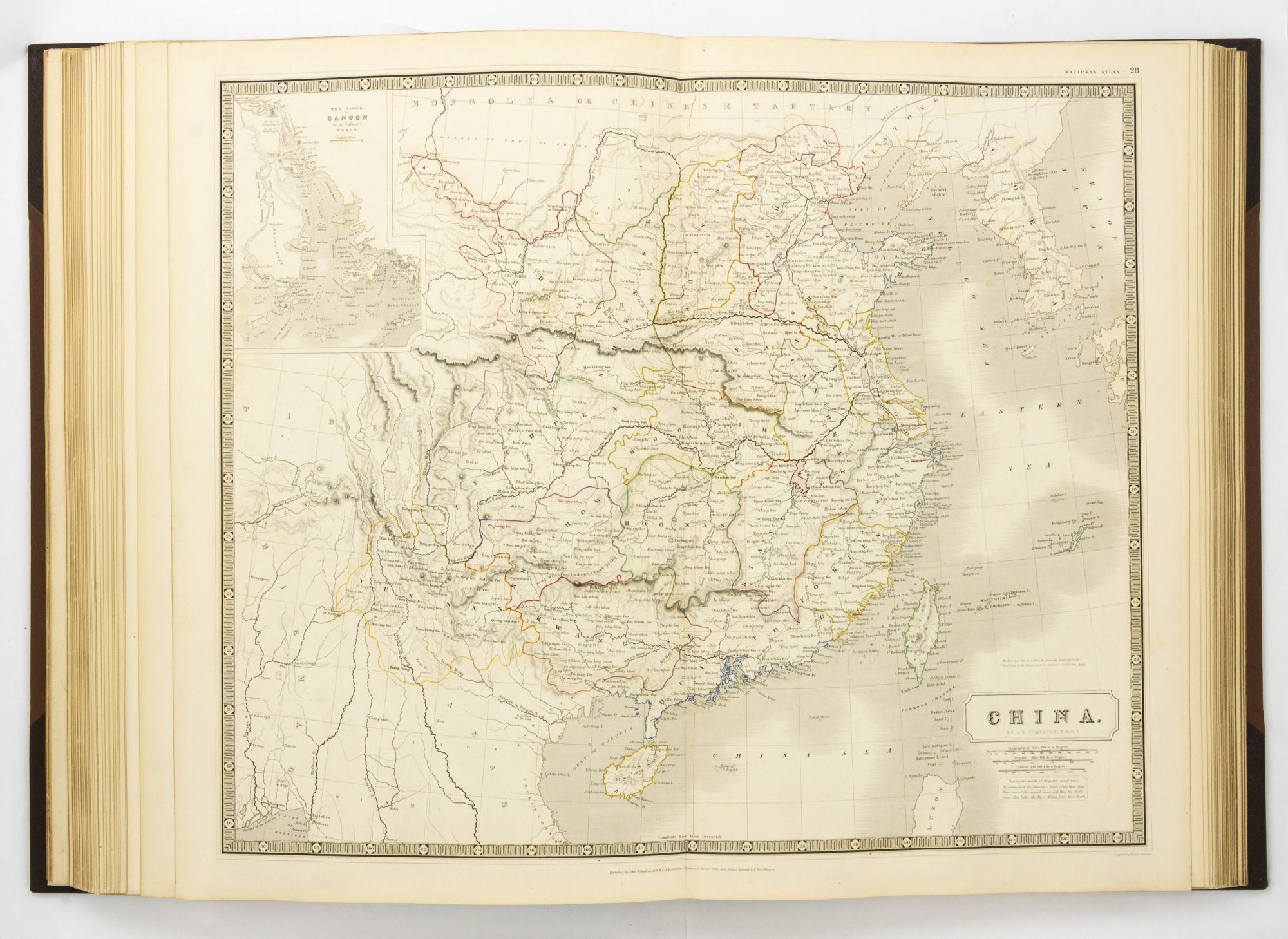
Large folio (555 × 385 mm), [viii] pages (title and dedication leaves, both versos blank; preface leaf; contents leaf) plus 46 hand-coloured double-page engraved maps (mounted on guards), and [10] pages (notes to the physical and ethnographic maps, numbered 47-56).
Modern half leather and cloth, with red morocco title-labels on the spine and front cover; all edges gilt; maps generally a little offset, with some scattered foxing and fingermarks (generally to the margins); early ownership signature ('Henry Fletcher, Grenadier Guards') on an early blank; minimal signs of use and age (a thin strip along the bottom margin of one leaf of Map 1 lightly abraded; Map 3 lightly marked; short split to the top centrefold of Map 4); overall, in excellent condition.
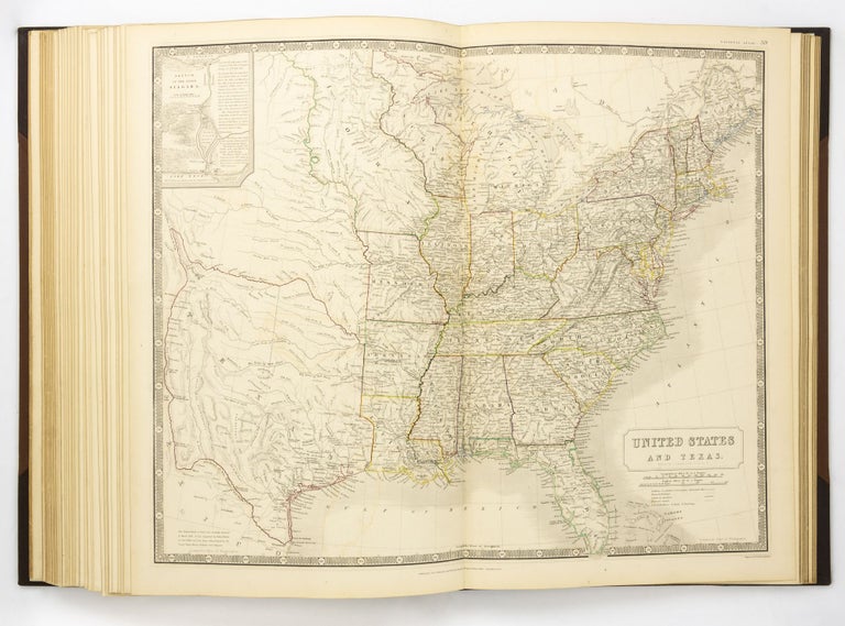
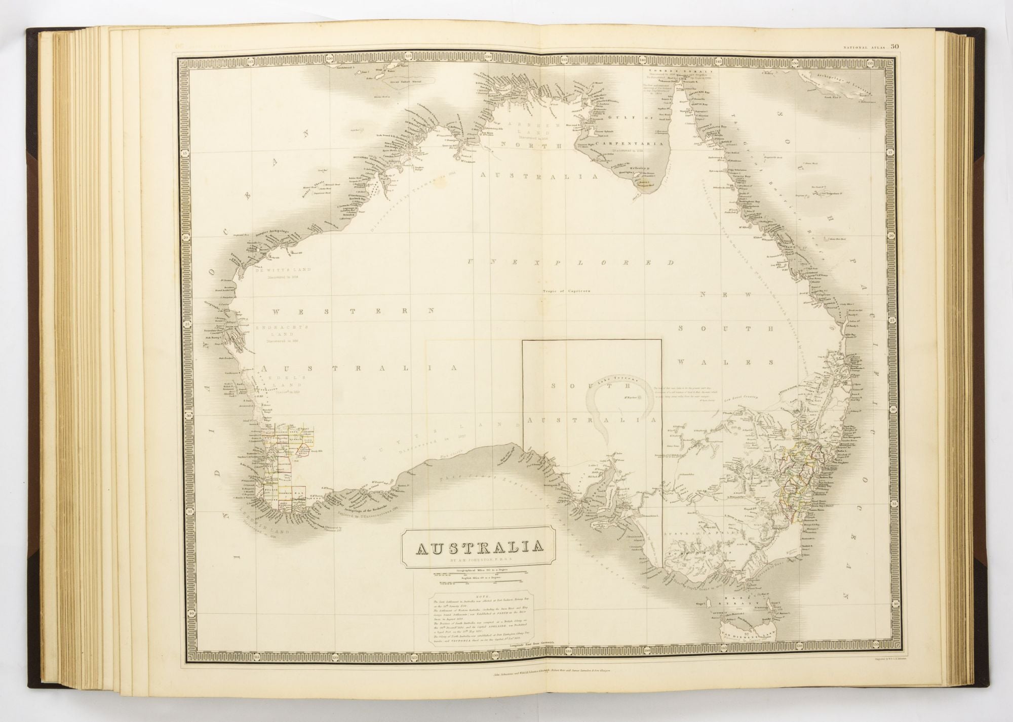
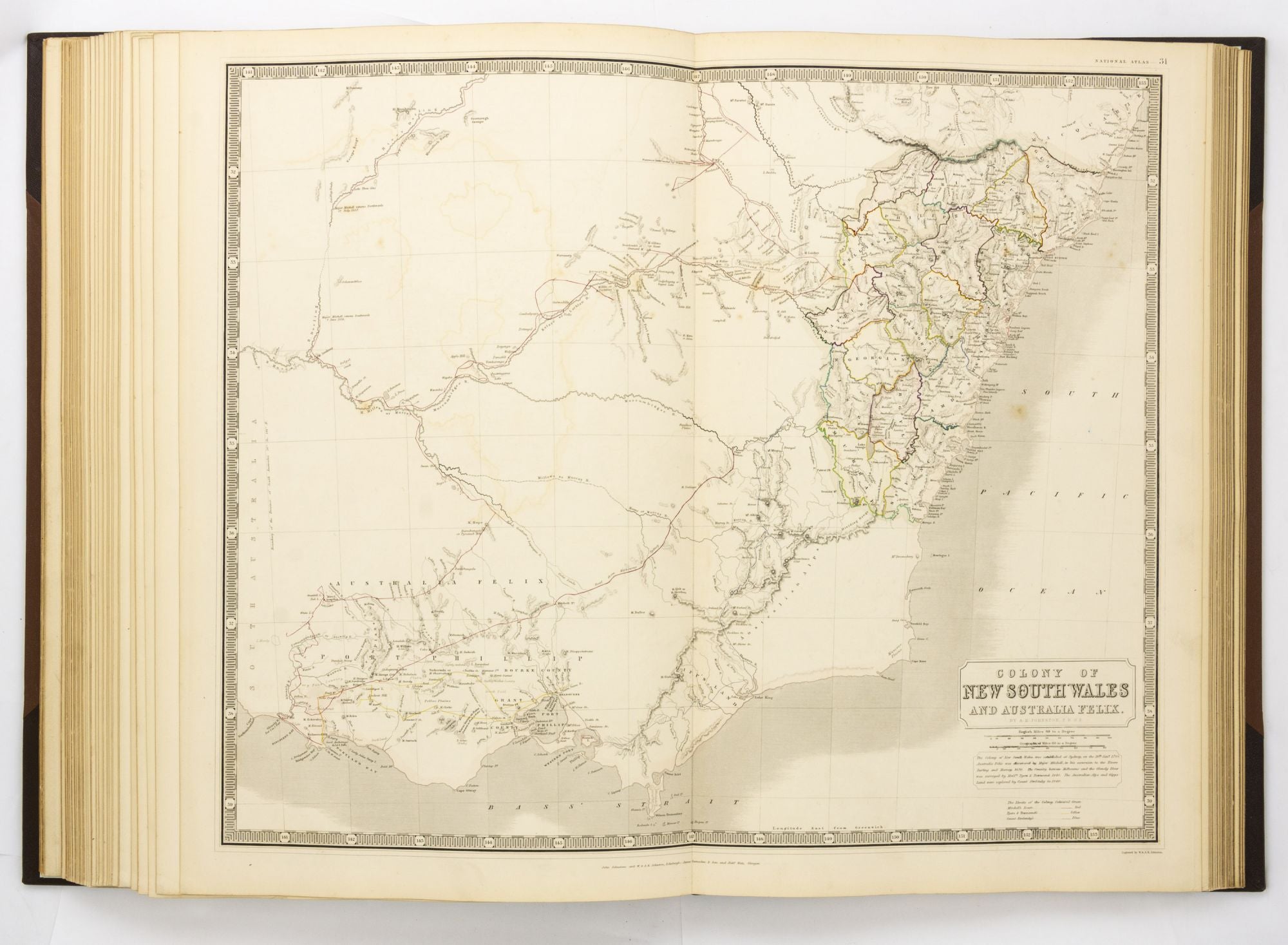
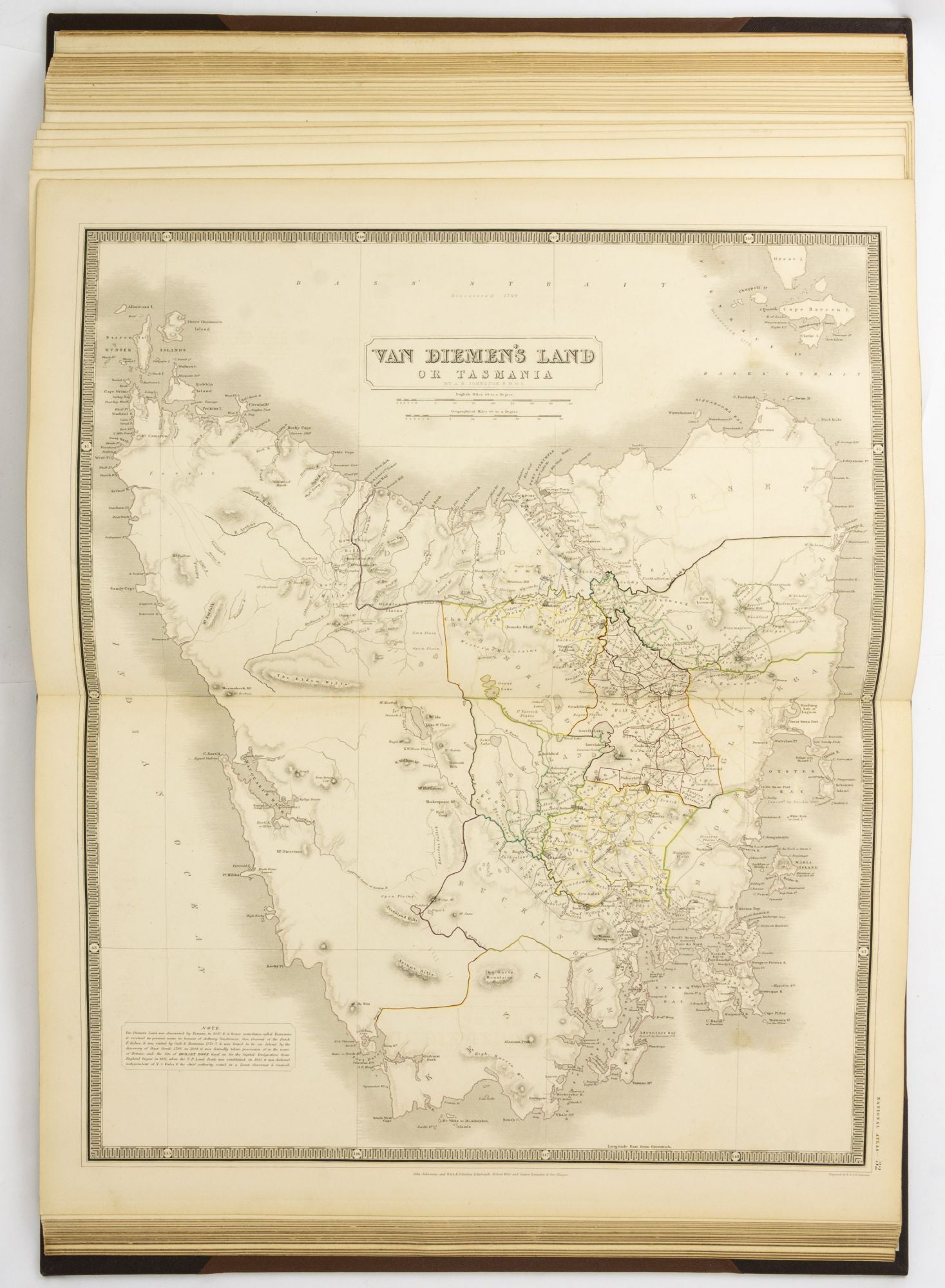
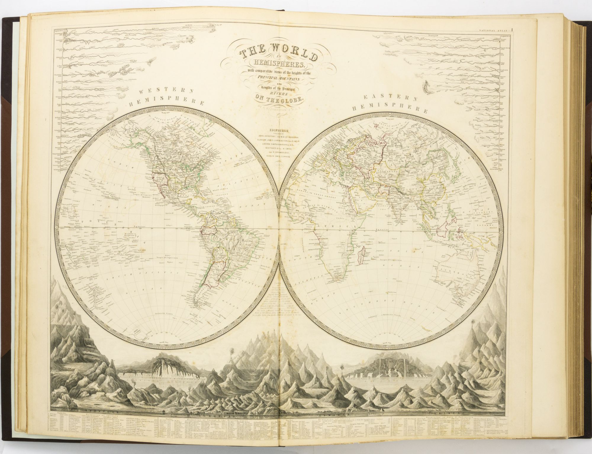
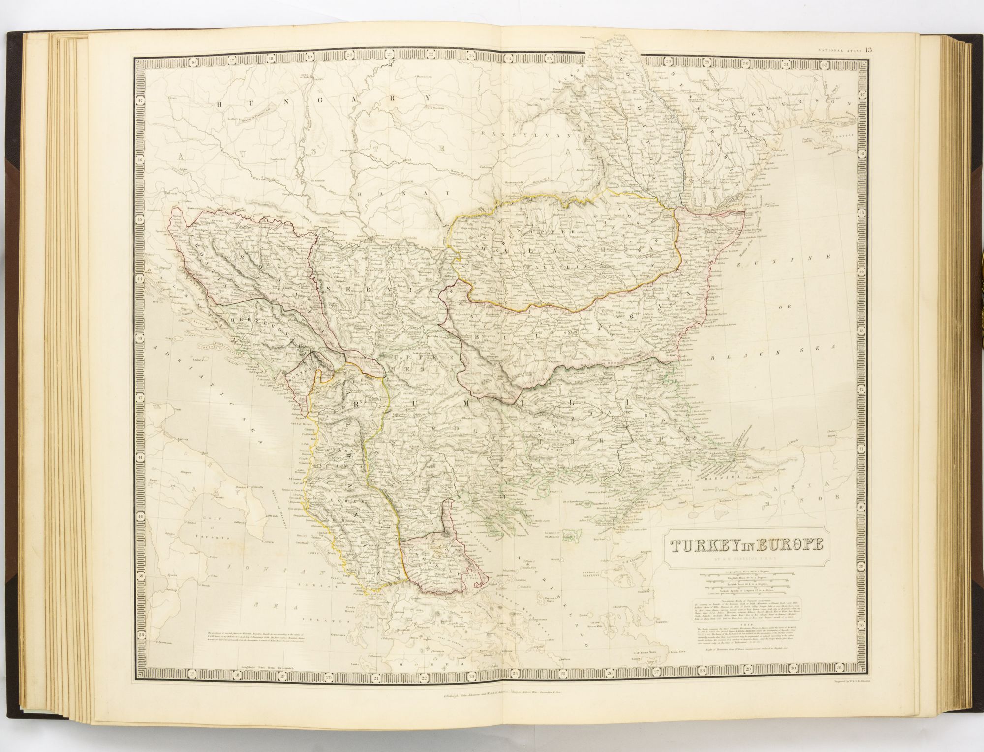
There are 41 maps of general geography, 4 maps of physical geography, and an ethnographic map of Europe. The maps of North America show the independent Republic of Texas, and the map of Australia (Tooley 755) shows little detail of the interior except for a monstrously oversized Lake Torrens.
Item #127854
Sold