![Item #118540 First Annual Report of the North Australia Commission. Period covered to 30th June 1927. [Plus] Second Annual Report ... 1st July, 1927, to 31st December, 1928. North Australia Commission.](https://treloars.cdn.bibliopolis.com/pictures/118540_00.jpg?width=768&height=1000&fit=bounds&auto=webp&v=1590022304)
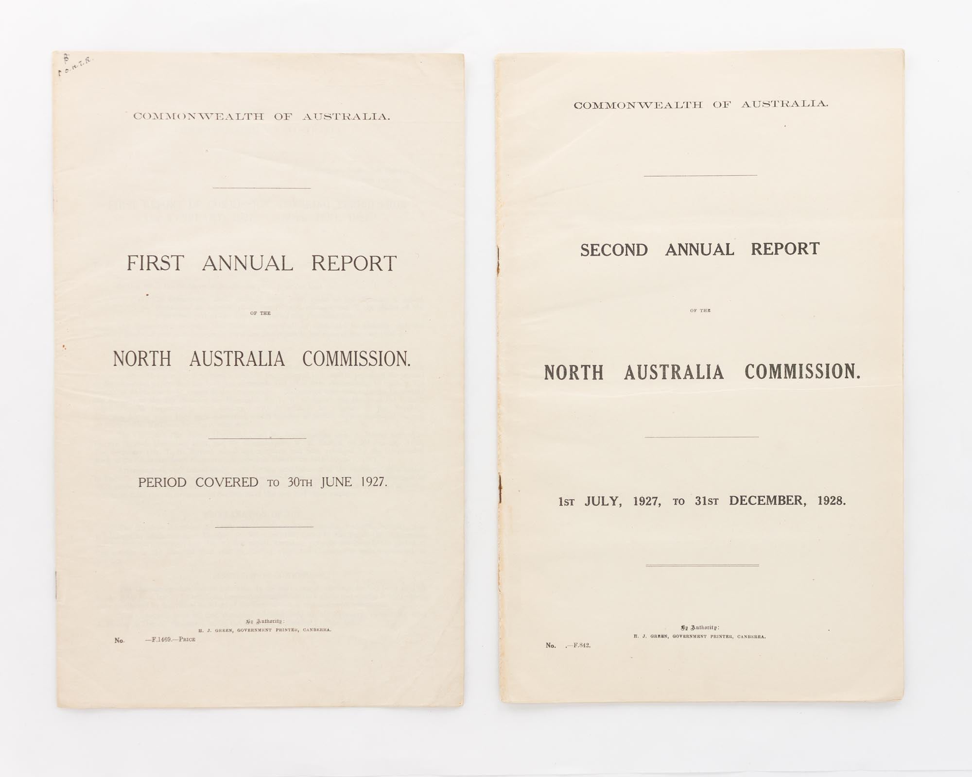
First Annual Report of the North Australia Commission. Period covered to 30th June 1927. [Plus] Second Annual Report ... 1st July, 1927, to 31st December, 1928
Canberra, Government Printer, 1928 and 1929.
Foolscap folio, two reports, 14 pages, and 27 pages plus 3 full-page maps (with assorted routes printed in red) and a large folding colour map of Australia (440 × 560 mm, with proposed railway routes printed in red. These include two out of Newcastle Water Plains (Newcastle Waters); one of them heads due west to the WA border, the other runs south-east to Bourke).
Stapled as issued; the first report has a small initialled annotation to the top left-hand corner of the first page, and both reports are a little creased; overall, in very good condition.
Commonwealth Parliamentary Papers Number 222 of 1926-27-28 (only 835 copies), and Number 15 of 1929 (Second Session) (only 840 copies). The Commission, empowered to function from the proclamation of the Northern Australia Act of 1926 on 1 February 1927 (resulting in the proclamation of the Territories of Central and North Australia), was responsible for Crown Lands throughout North and Central Australia, plus the maintenance and operation of railways, the construction and maintenance of roads, ports and harbours, the encouragement and establishment of air services and the like in North Australia. A further two annual reports were issued before the Act was repealed on 11 June 1930. [2 items].
Item #118540
Price (AUD):
$165.00