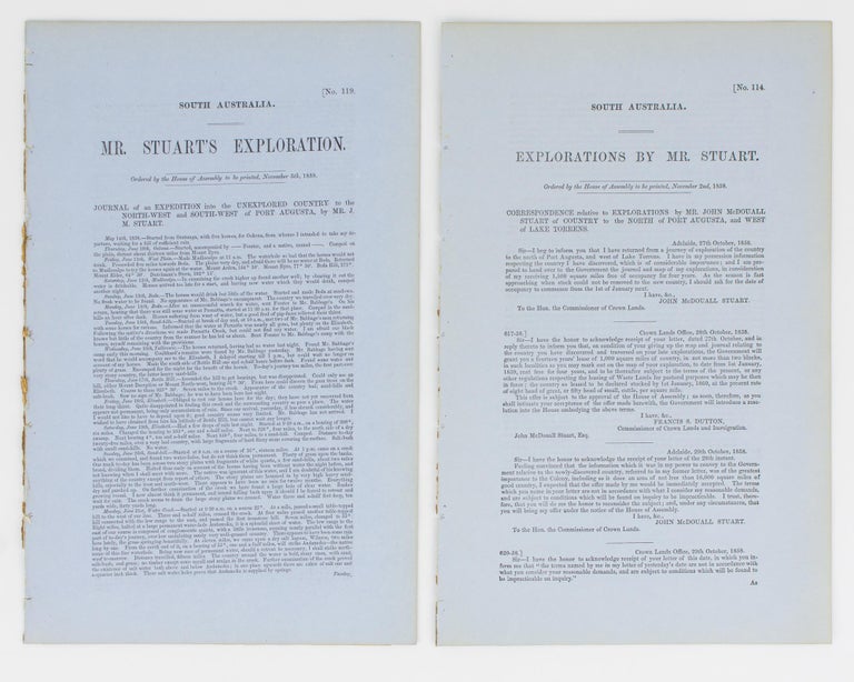
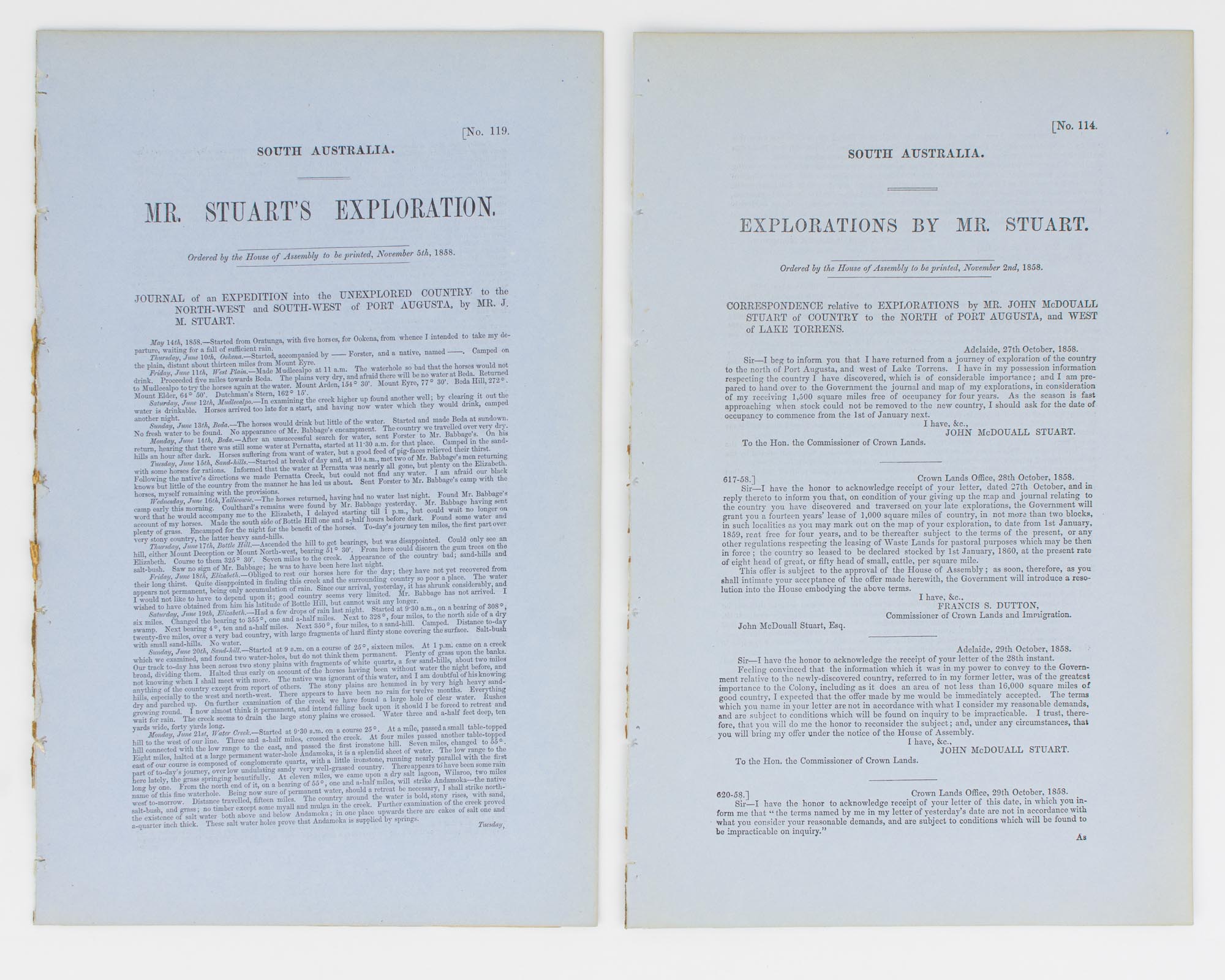
Mr Stuart's Exploration in South Australia ... Journal of an Expedition into the Unexplored Country to the North-West and South-West of Port Augusta
Adelaide, Government Printer, 1858.
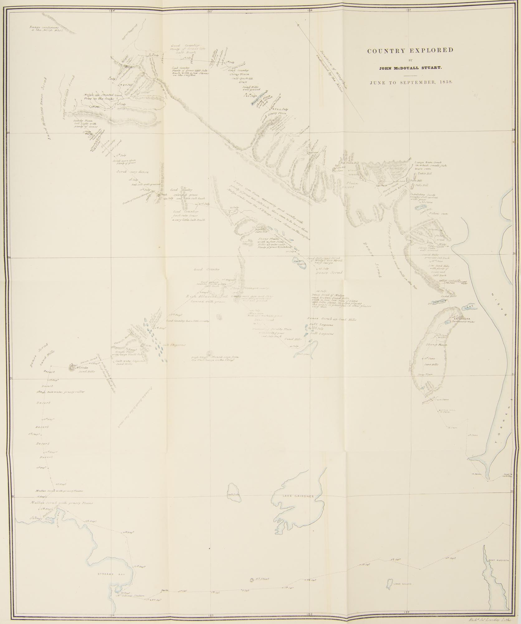
Foolscap folio, 8 pages (last blank) plus a large folding map ('Country explored by John McDouall Stuart. June to September 1858'; 600 × 510 mm, with lakes and coastlines hand-coloured in outline; 'Richd Jno. Loveday Litho').
Drop-title; minimal residual glue to the spine and a few needle-holes to the inner margin (previously bound, now disbound); tiny sealed tear to the stub of the map; essentially a fine copy.
South Australian Parliamentary Paper Number 119 of 1858. This is an account of Stuart's first independent expedition; he had previously travelled with Sturt's 1844-45 expedition into Central Australia. The party of three 'started out from the Northern Flinders Ranges in mid-May. They skirted the south end of Lake Torrens and then turned north and north-west until they reached the present site of Coober Pedy. They then followed a southerly course to Lake Gairdner, passing it on the west side. After a strenuous march, they arrived at Ceduna ... By now the men had run out of provisions. They travelled along the coast to Streaky Bay and from there to the settled districts at Mount Arden in a state of semi-starvation' (Feeken, Feeken and Spate, 1970). Offered with South Australian Parliamentary Paper Number 114 of 1858, 'Explorations of Mr Stuart.... Correspondence relative to Explorations ... to the North of Port Augusta, and West of Lake Torrens' (foolscap folio, 2 pages). The paper reprints three letters each from Stuart and Francis Dutton, Commissioner of Crown Lands and Immigration, written between 27 October and 2 November 1858. McLaren 15449 (not recording the map), and 15448. The first paper was reprinted by the Victorian Government (see McLaren 15457); not only was the text reset, the map was newly lithographed, and issued without additional hand-colouring. The visual comparisons between the two versions are striking. [2 items].
Item #114206
Price (AUD):
$1,500.00