
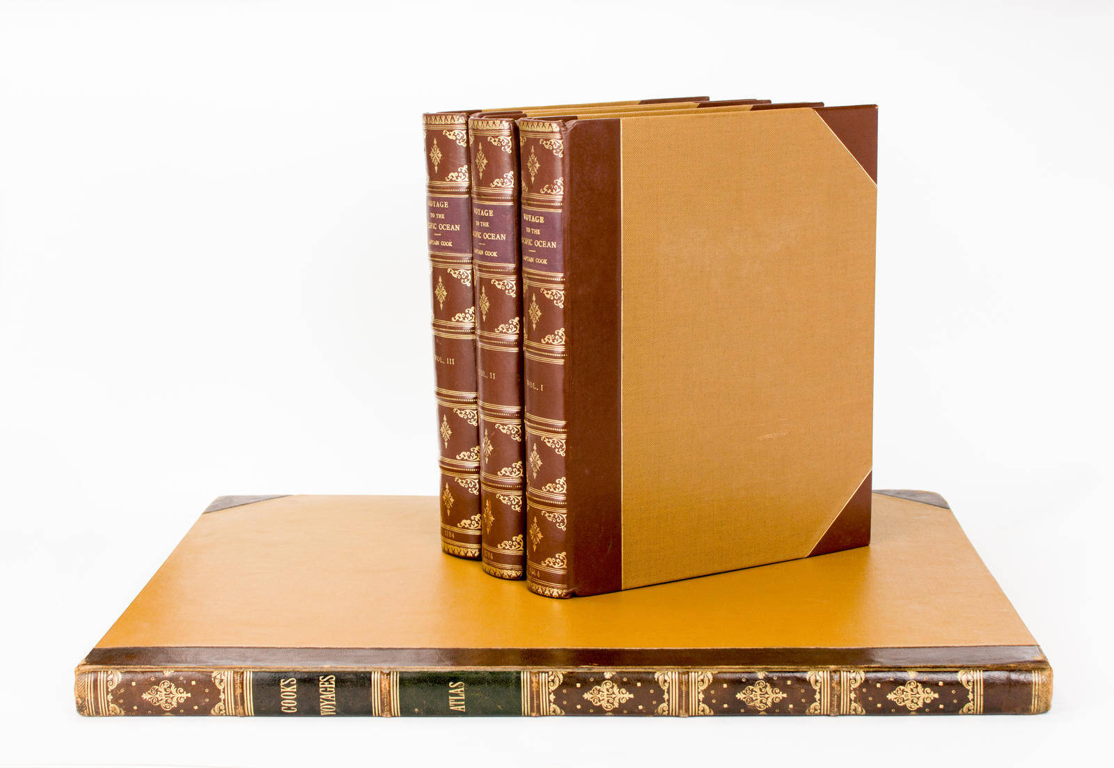
A Voyage to the Pacific Ocean. Undertaken, by the Command of His Majesty, for making Discoveries in the Northern Hemisphere. To determine the Position and Extent of the West Side of North America; its Distance from Asia; and the Practicability of a Northern Passage to Europe. Performed under the Direction of Captains Cook, Clerke, and Gore, on His Majesty's Ships the 'Resolution' and 'Discovery', in the Years 1776, 1777, 1778, 1779, and 1780 ...
London, Printed by W. and A. Strahan for G. Nicol and T. Cadell, 1784.
Quarto, three volumes (the text) plus the large folio atlas: [viii], xcvi, 421, [1] (blank); [xii], 549, [1] (blank); [xii] (last blank), 558, [2] (advertisement, last blank) pages with a folding letterpress table plus a total of 87 engraved plates, maps and charts (with 24, many folding, in the quarto volumes, and 63 in the atlas, including 2 folding maps); most of the plates are from the artwork of John Webber.
Quarto volumes in modern antique-style half calf and cloth, all edges uncut (the atlas in early half morocco and more recent cloth, all edges gilt), spines gilt in compartments, with morocco title-labels; leather very lightly rubbed (a little more so on the atlas); the text leaves tend to be uniformly toned, with scattered foxing (generally light); some margins with chips or short tears (none affecting the text, a few with old archival tape repairs); small light tidemark near the edge of the top margin of the first few leaves of the first volume; the last four leaves of the second volume are a little soiled, affecting mainly the bottom corner (one of which has been tidied up with a slight trim); atlas plates foxed and offset, with a number of them heavily browned and spotted (and with a tiny ember burn in one unprinted margin); minimal old conservation work to the large folding map; minor signs of use and age; these blemishes notwithstanding, a presentable wide-margined set of this important work.
Each volume contains the Ingleton bookplate and Ingleton Collection catalogue stamp and number (6362). 'Cook's third voyage was organized to seek the Northwest Passage and to return Omai to Tahiti. Officers of the crew included William Bligh, James Burney, James Colnett, and George Vancouver. John Webber was appointed artist to the expedition. After calling at Kerguelen Island, Tasmania, New Zealand, and the Cook, Tonga, and Society Islands, the expedition sailed north and discovered Christmas Island and the Hawaiian Islands, which Cook named the Sandwich Islands. Cook charted the American west coast from Northern California through the Bering Strait as far north as latitude 70° 44' before he was stopped by pack ice. He returned to Hawaii for the winter and was killed in an unhappy skirmish with the natives over a boat. Charles Clerke took command and after he died six months later, the ships returned to England under John Gore' (Hill). Hill 361; Forbes 62; Beddie 1543.
Item #105789
Sold