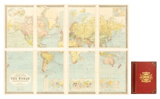
Bartholomew's Library Chart of the World on Mercator's Projection
London, George Philip & Son, [late 1870s]. There are four inset maps in the bottom half: the two hemispheres; winds; heights and depths; and natural productions. An elaborate gilt-lettered blue morocco presentation label is mounted on one of the flaps of the portfolio; it reads: 'Presented to Mr. W. Whittam..... More