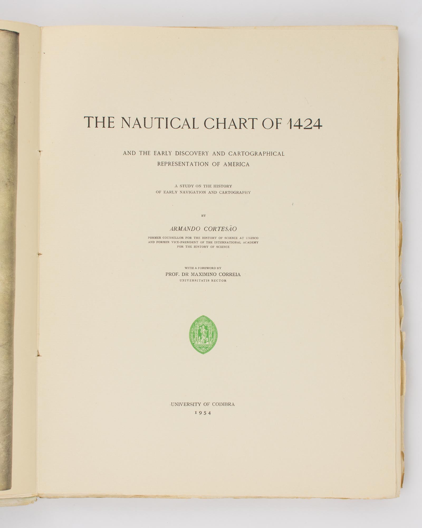
The Nautical Chart of 1424 and the Early Discovery and Cartographical Representation of America. A Study of the History of Early Navigation and Cartography
Coimbra, University of Coimbra, 1954.
Very large quarto, xx, 123 pages with 4 tables and numerous illustrations, plus 19 plates (mostly full-page, 2 folding, one in colour).
Overlapping gilt-decorated card covers lightly marked and a little sunned, with some chips and short tears to the leading and bottom edges; edges of all leaves uncut and substantially unopened, with some chips and short tears to a few of them; essentially an excellent copy.
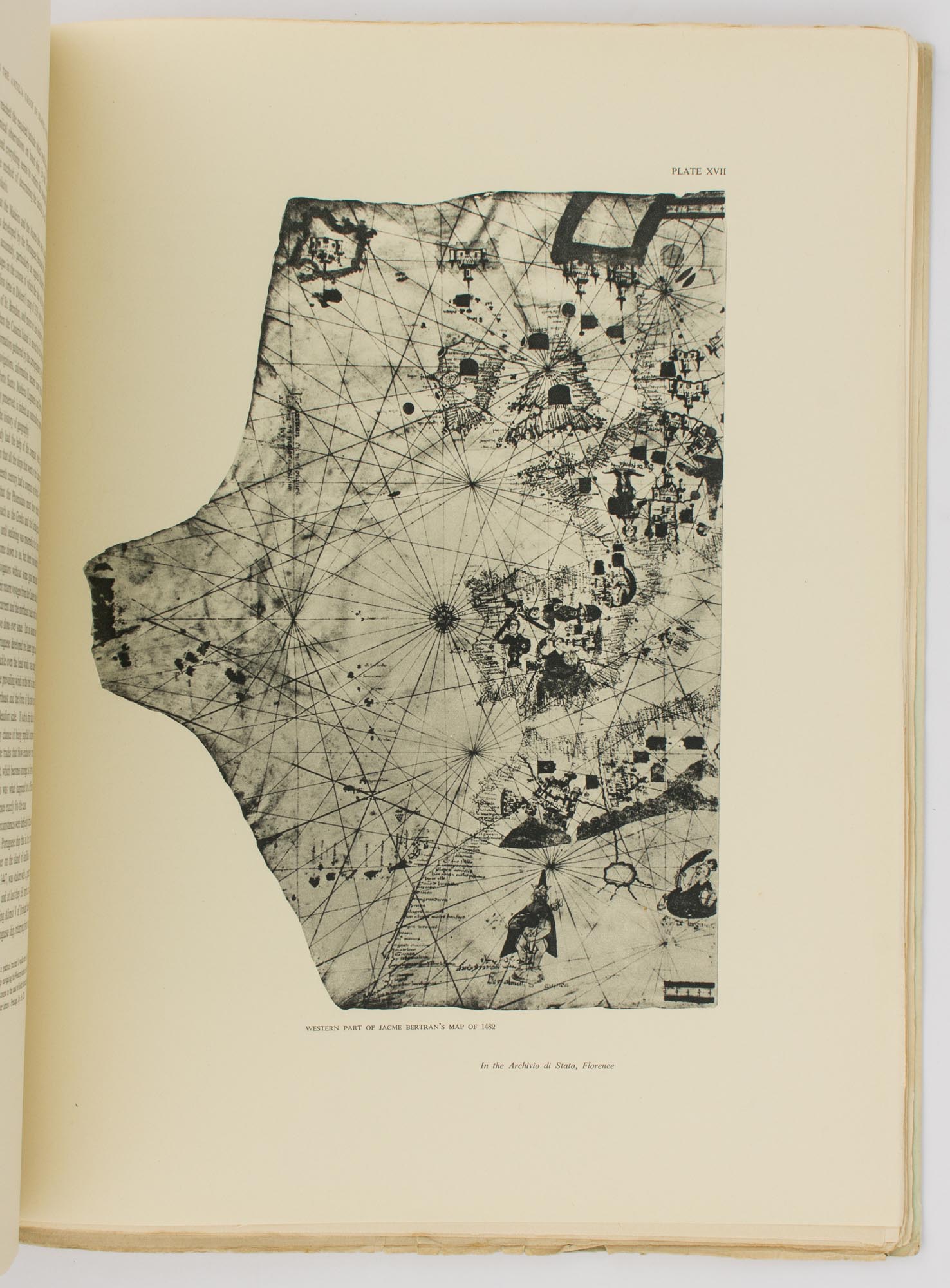
Number 795 of a numbered edition (upper limit not specified) signed by the author. A history of the early map-making of the Americas, which examines early maps and portolan sea charts, and identifies place names and early discoveries.
Item #112143
Sold
See all items by Maps, Armando CORTESAO